Our Services
Habitat Mapping & Assessment
Delivering accurate habitat mapping, GIS analysis, and ecological assessments to inform project planning, environmental approvals, and biodiversity management
Fauna Works provides detailed habitat assessment and mapping that gives project teams a clear, defensible picture of a site's ecological values before works begin.
Our ecologists combine field survey with GIS-based mapping to record vegetation communities, fauna habitat features, foraging and movement corridors, and the presence of threatened species and ecological communities.
What we do
- Flora and fauna habitat assessment and mapping
- Bio-condition and habitat quality assessment
- GIS mapping, spatial analysis and habitat models
- Threatened ecological community mapping
- Wildlife corridor and connectivity assessment
- Tree and hollow mapping for roost and nesting resources
- Baseline data collection for project approvals
- Mapping reports and figures prepared for submission
Our Products
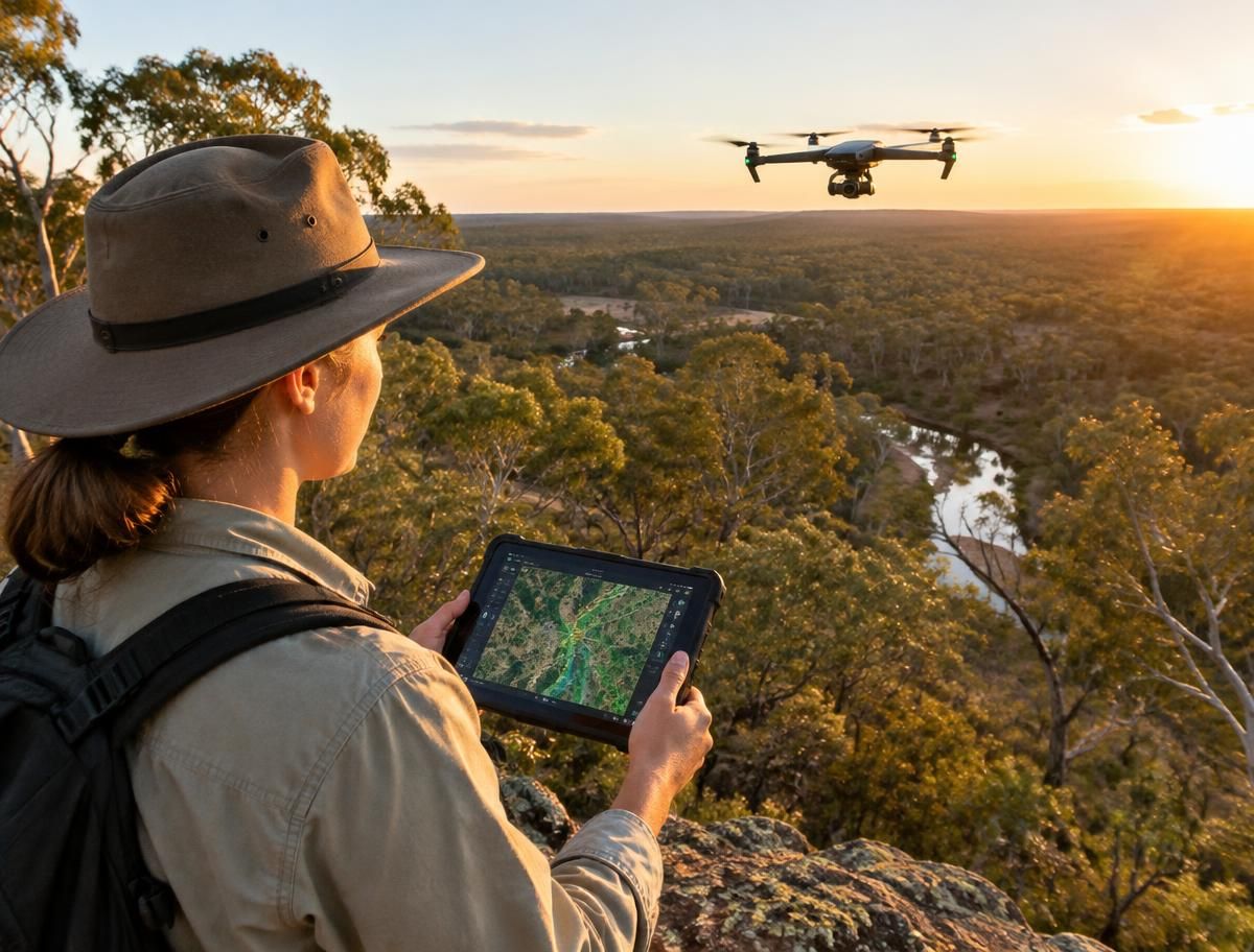
Flora and fauna habitat assessment and mapping
Fauna Works provides detailed habitat assessment and mapping that gives project teams a clear, defensible picture of a site's ecological values before works begin.
Bio-condition and habitat quality assessment
Our ecologists combine field survey with GIS-based mapping to record vegetation communities, fauna habitat features, foraging and movement corridors, and the presence of threatened species and ecological communities.
GIS mapping, spatial analysis and habitat models
Fauna Works provides detailed habitat assessment and mapping that gives project teams a clear, defensible picture of a site's ecological values before works begin.
Threatened ecological community mapping
Our ecologists combine field survey with GIS-based mapping to record vegetation communities, fauna habitat features, foraging and movement corridors, and the presence of threatened species and ecological communities.